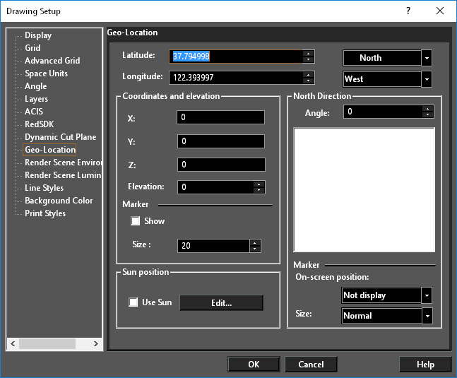
The map utility allows you to insert map objects, pulled from Google into TurboCAD.
First select the tool,
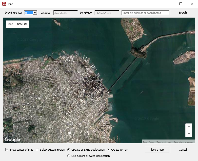
Drawing Units: Specifies the Drawing Units that will be used in the drawing. by default, these will be the units from the drawing you are insertinf into. If the units are chnaged the unit in the drawing will be changed.
Latitude: Show the latitude of the center of the map you are viewing.
Longitude:Show the longitude of the center of the map you are viewing.
Search: Search for a location
Map/Satellite: Select whether a Map or Satellite view will be shown.
Labels/Terrain: Map and Satellite each have sub-options: terrain and Labels, respectively. Terrain shows the topology of the groun, and Labels adds names and locations to the image.


Crosshairs: these crosshairs indicate the center of the map.