GPS Map
- Rip Fowler (Unlicensed)
This feature allows you to overlay your CAD drawings on a GPS map to track your location. GPS maps can also be used on a blank drawing file as the base drawing for site inspections.
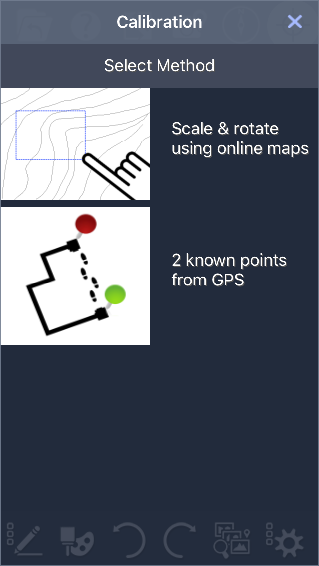
Acess the GPS map through the calibrate button near the top right of the screen in the site manager workspace.

Next tap "Scale & rotate using online maps"
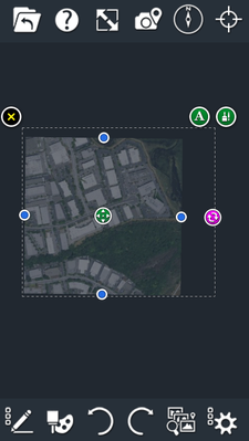
A map of the local area will then appear onscreen.
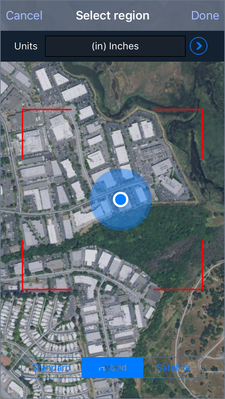
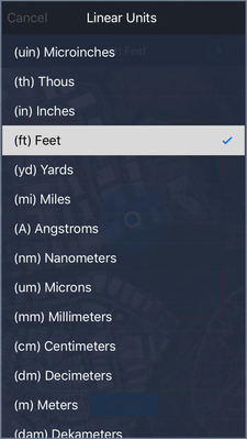
Be sure to change the units to match the drawing. Most CAD drawings with GPS data will use feet or meters.
Once the MAP has been placed in the drawing you can scale and rotate to make further adjustments.
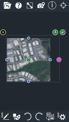
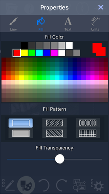
Transparency settings can be adjusted in properties.
For more on GPS maps watch the video below.
Features discussed in this article are available in the following products: TurboSite, TurboSIte Plus and TurboSIte Pro